DONNEE - Pays et PETR du Grand Est
Donnée des Pays et PETR du Grand Est, mise à jour quotidienne par le service géomatiques et connaissance (GeC).
La géométrie est issue de la base GéoFLA 2016 de l'IGN.
Simple
- Date (Revision)
- 2016-12-05
Citation identifier
No information provided.
- Citation identifier
- FR-200052264-Pays_Grand_Est
- Point of contact
-
Organisation name Individual name Electronic mail address Role Région Grand Est
VADIN Mickael
Owner
- Maintenance and update frequency
- Monthly
- Theme
-
-
PAYS
-
- Theme
-
-
DONNEES GEOGRAPHIQUES
-
- Theme
-
-
LIMITE PAYS
-
- Theme
-
-
UNITE ADMINISTRATIVE
-
- Theme
-
-
données ouvertes
-
- Theme
-
-
Géoportail
-
- Theme
-
-
PETR
-
- Theme
-
-
LIMITE PETR
-
- Use limitation
-
Licence ouverte "Etalab" (octobre 2011) - cf. document associé
- Access constraints
- none
- Access constraints
- Other restrictions
- Access constraints
- Other restrictions
- Access constraints
- Other restrictions
- Use constraints
- License
- Other constraints
-
Pas de restriction d'accès public selon INSPIRE
- Classification
- Unclassified
- Spatial representation type
- Vector
- Denominator
- 100000
- Language
- Français
- Character set
- UTF8
- Topic category
-
- Boundaries
- Begin date
- NaN-NaN-NaN
- End date
- NaN-NaN-NaN
- Description
-
Grand Est
N
S
E
W
))
- Reference system identifier
- 2154
- Distribution format
-
Name Version Flux WMS / WFS
1
- OnLine resource
- Hierarchy level
- Dataset
- Statement
-
Donnée obtenue par fusion des polygones des communes de la BD GEOFLA® de l'IGN.
- Date
Metadata
- File identifier
- FR-200052264-Pays_Grand_Est XML
- Metadata language
- Français
- Character set
- UTF8
- Hierarchy level
- Dataset
- Date stamp
- 2019-11-27
- Metadata standard name
-
ISO 19115/19139
- Metadata standard version
-
Cor 1:2006
- Metadata author
-
Organisation name Individual name Electronic mail address Role Région Grand Est
VADIN Mickael
Point of contact
Overviews
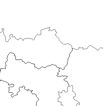
Illustration Limite pays
Spatial extent
N
S
E
W
Provided by

Associated resources
Not available