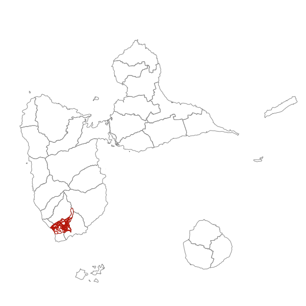
Plan Local d'Urbanisme de GOURBEYRE- Zonage
Plan Local d'Urbanisme (PLU) numérisé. Ce lot informe du droit à bâtir sur la commune de Gourbeyre. Ce PLU est numérisé conformément aux prescriptions nationales du CNIG.
Simple
- Date (Revision)
- 2021-02-23T17:26:12
- Date (Publication)
- 2017-11-13
- Citation identifier
- https://catalogue.karugeo.fr/geonetwork/srv/ba78657b-a01e-4955-8f3d-6e41f0d83d98
- Point of contact
-
Organisation name Individual name Electronic mail address Role Mairie de Gourbeyre
Owner
-
GEMET - INSPIRE themes, version 1.0
-
-
Usage des sols
-
-
GEMET - Concepts, version 2.4
-
-
document d'urbanisme
-
- Theme
-
-
Planification
-
PLU
-
Plan Local d'Urbanisme
-
-
OPENDATA
-
-
données ouvertes
-
-
Communes de France
-
-
GOURBEYRE (97109)
-
- Keywords
-
- Keywords
-
- Access constraints
- Other restrictions
- Other constraints
-
Pas de restriction d'accès public
- Use limitation
-
Données ouvertes
- Spatial representation type
- Vector
- Denominator
- 5000
- Language
-
fre
- Topic category
-
- Planning cadastre
))
- Distribution format
-
Name Version ESRI Shapefile
1.0
- OnLine resource
-
Protocol Linkage Name OGC:WFS-1.0.0-http-get-capabilities
https://datacarto.karugeo.fr/wfs?service=WFS&request=GetCapabilities plu_gou_zonage
OGC:WFS-1.0.0-http-get-capabilities
https://datacarto.karugeo.fr/wfs/5d3e8da2-f780-43f6-b0d5-881bae1aa768?service=WFS&request=GetCapabilities plu_gou_zonage
WWW:DOWNLOAD-1.0-http--download
https://catalogue.karugeo.fr/geosource/panierDownloadFrontalParametrage?LAYERIDTS=20451194 WWW:LINK-1.0-http--link
https://catalogue.karugeo.fr/rss/atomfeed/atomdataset/ba78657b-a01e-4955-8f3d-6e41f0d83d98 Téléchargement direct des données
WWW:DOWNLOAD-1.0-http--download
https://catalogue.karugeo.fr/geonetwork/srv/api/records/ba78657b-a01e-4955-8f3d-6e41f0d83d98/attachments/97109_reglement_20170831.pdf Règlement
- Hierarchy level
- Dataset
Conformance result
- Date (Publication)
- 2013-09-26
- Explanation
-
Règlement (UE) n o 1089/2010 de la Commission du 23 novembre 2010 portant modalités d'application de la directive 2007/2/CE du Parlement européen et du Conseil en ce qui concerne l'interopérabilité des séries et des services de données géographiques
- Pass
- Yes
- Statement
-
Document d’urbanisme numérisé conformément aux prescriptions nationales du CNIG du 19/04/2013. Ce lot de données produit en 2018 a été numérisé à partir de la BD Parcellaire.
Metadata
- File identifier
- ba78657b-a01e-4955-8f3d-6e41f0d83d98 XML
- Metadata language
- Français
- Character set
- UTF8
- Hierarchy level
- Dataset
- Hierarchy level name
-
Série de données
- Date stamp
- 2021-02-25T17:48:38
- Metadata standard name
-
ISO 19115:2003/19139
- Metadata standard version
-
1.0
- Metadata author
-
Organisation name Individual name Electronic mail address Role Mairie de Gourbeyre
Point of contact
Overviews
Spatial extent
Provided by
